World
Rapid intensification of Hurricane Francine is a sign of a hotter world

Hurricane Francine may now be weakening after pummeling Louisiana but the storm’s rapid and surprise intensification into a category 2 storm is one that scientists say is only getting more common due to global heating.
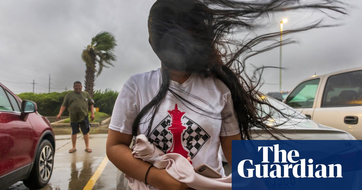
Francine crunched into Terrebonne parish, in southern Louisiana, on Wednesday, bringing sustained winds of about 100mph (160km/h) as it came ashore from the Gulf of Mexico, causing flash flooding and power outages for hundreds of thousands of people. New Orleans got a month’s worth of rain within just a day.
This was quite a leap from the tropical storm Francine was just shortly before strengthening to what many forecasters thought would be a category 1 event. Instead, it quickly leapt to a category 2 storm, a process known as rapid intensification, just before hitting the coastline.
“Francine went up 35mph in 24 hours, the exact threshold for rapid intensification,” posted Heather Zons, senior meteorologist at the Weather Channel. “All of this 1 hour before it made landfall.”
The fast acceleration of such storms is not new but it is becoming more common due to the climate crisis, scientists have found. The average intensification rate of hurricanes today is nearly 30% greater than it was before the 1990s due to the buildup of planet-heating gases from burning fossil fuels, according to a study published last year.
This rapid intensification can conjure up storms far stronger than Francine, with Hurricane Ian, one of the costliest storms ever to hit the US, quickly and unexpectedly became a category 5 event before hitting Florida in 2022, causing 149 deaths.
Researchers have found that since 1970s, the number of storms escalating into category 4 or 5 hurricanes, with winds of at least 131mph, has roughly doubled in the North Atlantic. “If you look back in time, historically, storms intensified at a slower rate than they do now,” said Phil Klotzbach, a researcher at Colorado State University who specializes in hurricane forecasting.
As greenhouse gases help trap heat in the atmosphere, they are also helping supercharge the oceans with record-breaking temperatures. The heat in the Gulf of Mexico, where many of these storms congregate, has been abnormally high and this extra heat acts as a sort of jet fuel for hurricanes, quickly turning them into major storms.
This poses a challenge for coastal communities that have otherwise been generally aided by improving forecasting tools and emergency plans. Even the sophisticated models used by the US’s National Hurricane Center cannot always pick up the last-minute jolts in a hurricane that can make the difference between disaster and a damp squib.
“Because these storms go from a category 1 to a major hurricane very quickly, it leaves a lot of people unprepared,” said Jennifer Collins, who researches hurricanes and human behavior relating to evacuation at the University of South Florida.
“If we say all along that it’s going to be a major hurricane, then people can prepare for it. But if people see it only a day before as a tropical storm then they feel complacently that they’ve got plenty of time to prepare for it, but that’s not the case any more.”


