World
Satellite images show rare heavy rain in world’s biggest desert

In a rare occurrence, heavy rainfall hit the Sahara Desert this month and was captured on satellite imagery showing the unusual weather conditions cast over one the driest regions on the planet.
Parts of the Sahara are predicted to see five times their average September rainfall, with some areas of North Africa experiencing so much precipitation that its usually arid landscape is being flooded, Live Science reported.
While rainfall in the region is not unheard of, the typical amount would be a few inches of rain per year, according to the NASA Earth Observatory. However, on September 7 and 8, the region was hit by an extratropical cyclone — a type of storm that is not categorized as a tropical cyclone — which left behind a large quantity of runoff water.
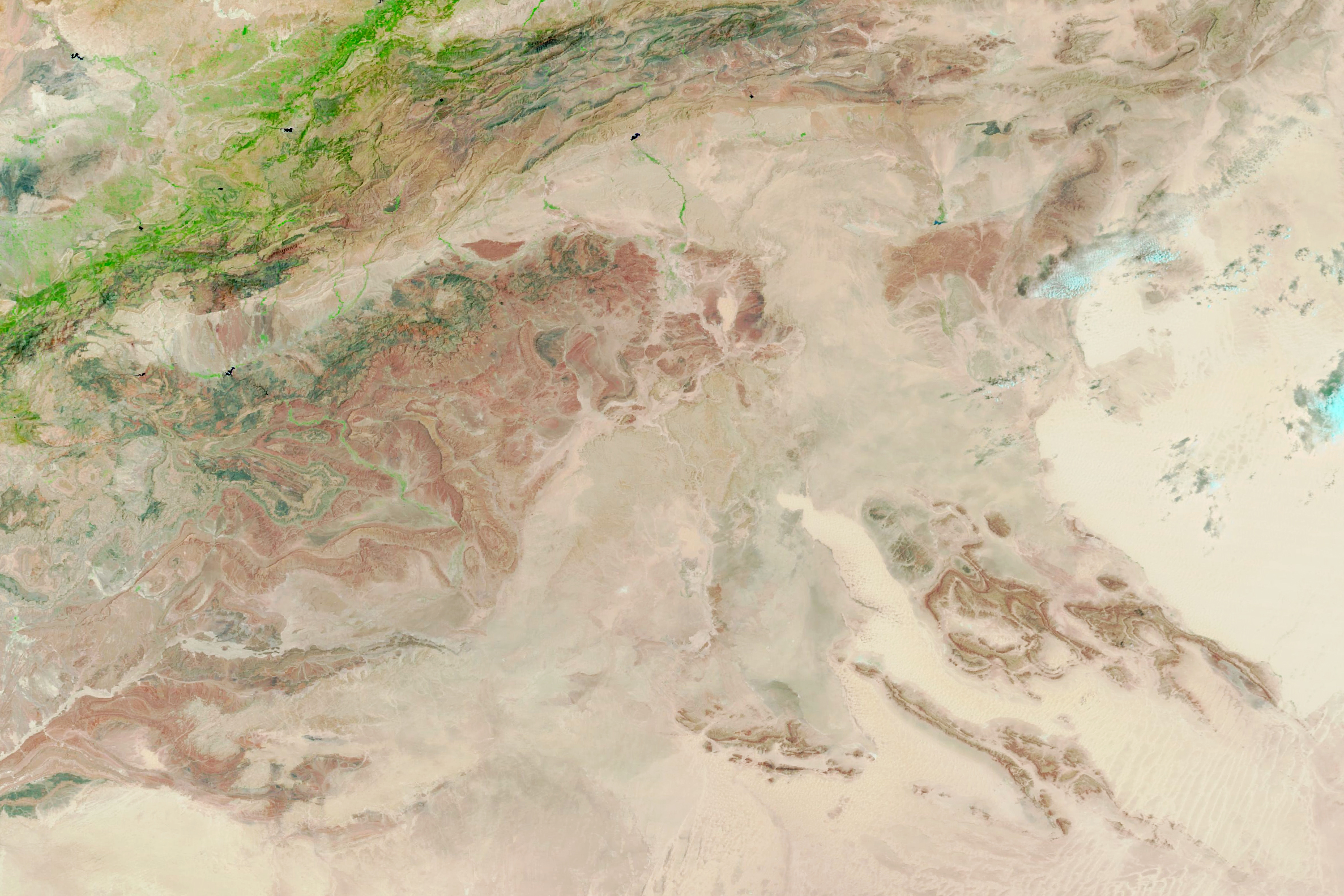
The heavy rain was captured by NASA‘s Moderate Resolution Imaging Spectroradiometer (MODIS), an instrument aboard two satellites that captures imagery of the entire Earth’s surface every one to two days.
The following images show the difference between August 14 of this year and September 10, showing the increase in water in the region after the thunderstorms. The shade of blue varies depending on the depth of the water, while the vegetation appears green.
Michala Garrison/NASA Earth Observatory

Michala Garrison/NASA Earth Observatory
Further images also show that one of the normally dry lakes in the Sahara is now filled with water, NASA Earth Observatory reported.
On September 9, Reuters reported that in Morocco, the floods resulted in the death of 18 civilians and four were believed to be missing in the provinces of Tata, Tiznit, Errachidia, Tinghir, and Taroudant.
Several villages in the provinces saw 56 homes destroyed, 110 roads damaged, and disrupted electricity, water supply ,and phone networks, per the outlet.
Some scientists believe the latest rainfall could be because the Intertropical Convergence Zone (ITCZ), where the air from the Northern and Southern hemispheres meet in a belt close to the equator, which can carry storms, has shifted north this year over the northern Sahara, Live Science reported.
Another factor could be that the water in the North Atlantic Ocean and Mediterranean Sea is warmer than usual, the outlet reported, adding that it’s possible the Sahara will continue to experience more rain in the future.
The NASA report states that over 38,000 incidents of extreme rainfall have occurred over the Sahara. Around 30 percent of those happened in the summer, and only a few were associated with an extratropical cyclone.
Do you have a story we should be covering? Do you have any questions about this article? Contact LiveNews@newsweek.com.


